In the 19th century, the geographer and explorer David Livingstone was scathing of what he described as “easy-chair geographers” – authors and mapmakers who produced maps and treatises about the non-European world without ever leaving their learned society or personal office.
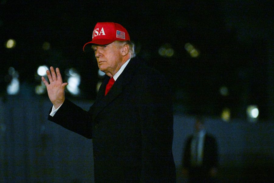
Donald Trump is a latter-day armchair geographer. Or judging by photographs repeatedly released by the White House, a president comfortable convening meetings in the Oval Office with large maps displayed by his desk.
But whether it is a case of acquiring Greenland or blockading the Strait of Hormuz, maps can be poor substitutes for in-field knowledge and understanding. Blockading seven Iranian ports stretching over several hundred miles of coastline is a tall order, as is distinguishing, tracking, communicating and boarding vessels suspected of being connected to Iranian ports and interests.
Since returning to the White House, the President has shown considerable appetite for using executive orders to rename geographical places with the aim of glorifying the United States. As soon as he took office in January last year, Trump used an executive order to revert to using “Mount McKinley” – rather than Mount Denali – as the name for the highest peak in Alaska. Notably that February, he admitted that he was moved by a map depicting the “Gulf of America.” As he told assembled reporters:
Trump is a careless geographer with a poor understanding of international borders
I’m just admiring it as I look at it. I’m getting teary-eyed – but I don’t want you to say, “Trump broke down and started crying.”
In January of this year, Trump shared a map of North America on Truth Social which depicted Greenland, Canada and Venezuela covered in the US flag. It coincided with a public declaration that the United States was committed to the pursuit of western hemispheric dominance.
Trump’s obsession with Greenland – the world’s largest island – has been well documented. Trump’s “big-stick” policy has ranged from the production of AI-generated images hinting at annexation to barely disguised contempt for an island he described most recently as a “poorly run piece of ice.”
Understandably, the Greenlandic Prime Minister Jens-Frederik Nielsen pushed back at the suggestion his community of 57,000 people could be described in such a dismissive manner. What Trump did not expect was the visible resistance by Greenland and Denmark to his presidential overtures. NATO allies were also swift to offer solidarity to the Kingdom of Denmark.
This failure to understand the lived realities of Greenland and the geopolitical dynamics of the Arctic is more generally indicative of a president who has shown himself to be repeatedly careless with geography. In his first term, Trump reportedly thought that Finland was part of Russia. He has patently misunderstood the physical size and complexity of Iran and apparently did not know that India has a shared border with China. The list of presidential geographical gaffes grows ever longer. It would be a source of amusement had this carelessness not resulted – so far – in a stream of menaces, threats and violence against friends and foe alike.
There is a striking parallel between Trump and former president Theodore Roosevelt, who served between 1901 and 1909 and was also fond of maps and geography. During Roosevelt’s term in office, the US pursued a “big-stick” policy designed to strengthen the country’s armed forces and was an advocate for overseas wars, especially the Spanish-American and Philippine-American conflicts of the late 1890s.
Afterwards, America acquired Guam and Puerto Rico, purchased the Philippines and established a protectorate in Cuba. Hawaii was also annexed by Roosevelt to provide a supply point for the US’s Pacific empire. Remarkably, after leaving presidential office, he embarked on an ambitious expedition to the Amazon from 1913 to 1914. On his return, like Trump, he was not averse to standing in front of a map, pointing to the Rio da Dúvida river that had nearly killed him.
Also like Trump, Roosevelt believed that the US had to be dominant in the western hemisphere –especially in Central America. He oversaw the final stages of the construction of the Panama Canal in 1904 until its completion in 1914. Roosevelt used his presidential authority in 1906 to bolster the work of the US Board on Geographical Names. The approach to place names was standardized across the United States and the board was authorized to instruct federal agencies to use approved names.
Trump’s enthusiasm for the restoration of American power does echo Roosevelt’s own ambitions. Roosevelt was, like Trump, perfectly capable of bending norms and rules to suit his agenda, including seeking retribution on those who stood in opposition. As an “easy-chair geographer,” Roosevelt and other presidents, including William McKinley (president from 1897 to 1901), were convinced that America’s superior military strength and Anglo-Saxon vitality would triumph over other countries and their empires.
Trump is a careless geographer with a poor understanding of international borders and a callous indifference to the hard-won autonomy of smaller states and indigenous communities. The assault on Iran was based on a deeply flawed understanding of its physical and political geography. Iran is about the same size as Alaska. Like the 49th state, it is mountainous but populated by 90 million people rather than 730,000 Alaskans.
Trump has learned – to his own cost – that Iran’s physical proximity to the Strait of Hormuz means that it can disrupt shipping. The so-called Tanker Wars in the early 1980s could have served as a reminder to the president of how both Iran and Iraq played their part in disrupting global shipping in and out of the Persian Gulf. Voices urging restraint in Iran were clearly not listened to in the Oval Office and there is more than a lingering suspicion that intelligence from Israel was wildly optimistic about regime collapse in Tehran.
Armchair geography is not pre-ordained to failure, provided there is a willingness to engage with the knowledge you have and critically do not have. In the 19th century, British explorers and geographers clashed over how the interior of Africa was mapped. Error-prone maps endured in part because there was a reluctance to hear first-hand evidence.
Last week, a proposal appeared in the Wall Street Journal advocating President Trump stake a claim to Marie Byrd Land in Antarctica. It is the largest unclaimed piece of earth – and yet again comparable in size to Alaska. It might not be too long, then, before we see a Donald Trump Land appear on our maps. Armchair geography personified.


Comments