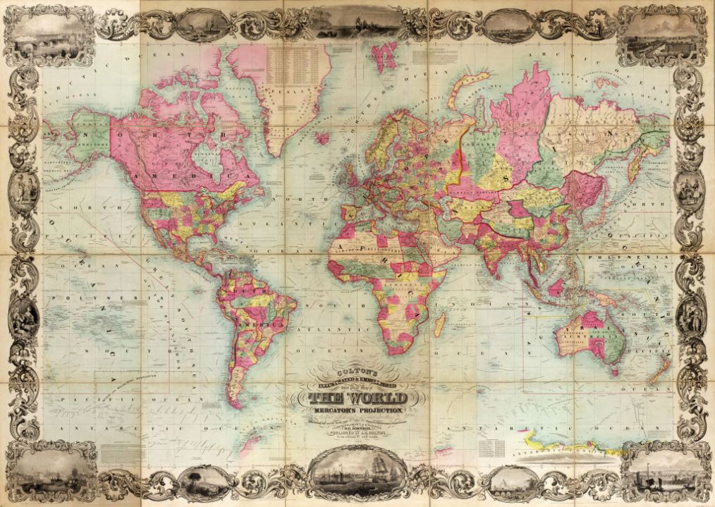
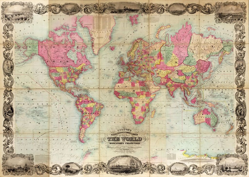
It has been clear for years that the UN has fallen under the influence of left-wing activists and rapacious developing countries, who are using it as a vehicle to press to slavery and climate reparations. But the UN’s latest initiative is possibly the nuttiest of them all. The General Assembly will vote today on whether to try to eradicate world maps drawn on a Mercator projection on the grounds that they are “colonialist” – and replace them with a favored map which is much more honest in representing the size of individual countries. The campaign against “cartographic colonialism” began with an online “correct the map” campaign and has now been taken up by Togo, backed by the African Union countries.
To describe Mercator maps as ‘colonialist’ betrays astonishing ignorance
To describe Mercator maps as “colonialist” betrays astonishing ignorance of geographical reality. There is no wholly satisfactory way of representing a spherical Earth on a flat piece of paper. And it is true that Mercator maps, where lines of longitude are drawn parallel and do not converge on the Earth’s poles as they do in the real world, have a major drawback in that they make northerly – and southerly – countries appear much larger than they actually are, while the equatorial regions appear much smaller. Greenland, in particular, appears as big as Africa whereas in real life it is smaller than Algeria or the Democratic Republic of the Congo. On a Mercator map you never actually get to the North Pole – it lies an infinite distance to the top of the map.
Nevertheless, there is a very good reason why it was widely adopted after being invented by the Flemish cartographer Geradus Mercator in the 16th century, and it has nothing to do with its inventor being able to say: gosh, isn’t Flanders just enormous! It was adopted because it makes navigation much simpler. Draw a straight line on a Mercator map and you have just drawn a “rhumb line” – which is a route across the Earth’s surface following a constant bearing. In other words, draw a straight line, say, from Plymouth, England to Georgetown, Guyana, and that is the line you will follow if you set out across the Atlantic following a consistent compass bearing of 225 degrees.
The UN’s favored map projection, called the “Equal Earth Map” has its own distortions. In trying to preserve the surface area of different parts of the globe it ends up flattening landmasses so much that they become unrecognizable. Greenland then appears wider than it is tall. As for Antarctica, it appears impossibly stretched. It is interesting to see the world depicted in all sorts of ways on paper. If you want to educate children about geography, on the other hand, there is no substitute for a globe which you can spin around and appreciate not just where places are but why we have seasons – because the Earth’s axis is tilted relative to a plane on which the Earth and Sun sit.
But then the “correct the map” campaign has never been about educating people. It is just a nonsense attempt to make us think that African countries are jolly important. I am sure they are, but trying to extinguish a map which so important in the making of the modern world is backward and foolish. So what if it was devised by colonial powers? Like it or not, it was European civilizations which mapped the Earth at a time when African communities looked no further than their own limited horizons. The efforts of people like Geradus Mercator deserve to be celebrated, not damned.


Comments