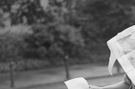
Around Britain with a theodolite: a celebration of the Ordnance Survey maps
From our UK edition
It took six years, starting in the summer of 1784, for the Board of Ordnance to establish the baseline of its triangulation of Great Britain. First they used wooden poles, then glass tubes. After much clearing of furze bushes and ant hills, the baseline ran for more than five miles from Hounslow Heath to Hampton Poor House. The maps of England and Wales were complete by 1870. Scotland had to wait until 1887. The delay was rumoured to have been caused by the superintendent’s concern that surveyors would get in the way of the late summer deer stalking. As a wing of the military, the Ordnance Survey had extraordinary powers. The Surveyors’ Act of 1841 allowed it to trudge, clamber, squelch, measure and interrogate wherever necessary.