It took six years, starting in the summer of 1784, for the Board of Ordnance to establish the baseline of its triangulation of Great Britain. First they used wooden poles, then glass tubes. After much clearing of furze bushes and ant hills, the baseline ran for more than five miles from Hounslow Heath to Hampton Poor House. The maps of England and Wales were complete by 1870. Scotland had to wait until 1887. The delay was rumoured to have been caused by the superintendent’s concern that surveyors would get in the way of the late summer deer stalking.
As a wing of the military, the Ordnance Survey had extraordinary powers. The Surveyors’ Act of 1841 allowed it to trudge, clamber, squelch, measure and interrogate wherever necessary. The first publicly available maps, known as the Old Series, were a revelation. With their finely drawn symbols, they gave the intimacies of the British landscape a cosy storybook intensity – the ‘gentlemen’s seats’ and workhouses, the hedges, walls and fences, every guide post, letter box and sundial and several types of heap and pit. Areas a long way from the OS headquarters in Southampton were sometimes made doubly exotic by the mistranscription of Celtic and dialect names.

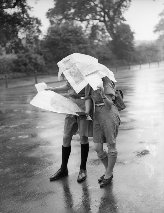
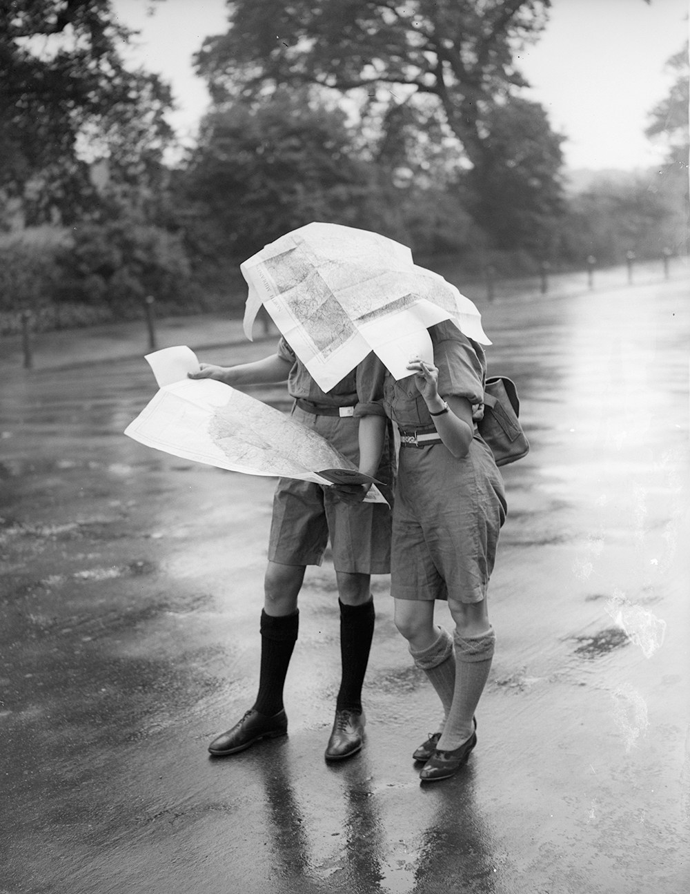
The OS learned early to exploit the commercial potential of its maps. Mapping Britain reproduces some early covers of the One-Inch Popular Edition. A lone rambler with sensible trousers and knobbly rucksack tries to match the plunging valley view to the linen-mounted sheet unfolded on his lap. Other editions replaced him with a flat-capped, pipe-smoking cyclist. The addition of contour lines made many a ramble less strenuous than it might have been and probably accounts for even more time spent happily route-planning in the warm and dry.
Will Millard writes nicely about his cartophile childhood: ‘If a book didn’t have a map within its first few pages, I quickly decided that it wouldn’t be worth reading.’ Let loose among the OS archives, he has produced a boy’s bedroom of a book, gloriously cluttered with maps, including those that were published in The Ordnance Survey’s Jubilee Book presented to Queen Victoria. This tax-funded treasure had a print run of three copies.
There are black-and-white photographs of boffins and backroom boys (and, after 1939, women), monkishly etching in hygienic sheds or squatting on rocks, trying to steady a rickety theodolite. There are also reminders of the less bucolic aspects of mapmaking. In the first world war, OS surveyors heroically mapped 6,000 square miles of the Western Front. In 1953, a map of London was hand-coloured to reclassify buildings into six categories ranging from ‘blast damage – minor in nature’ to ‘total destruction’.
Millard’s book is a celebration rather than a history. It is not intended to compete with, for instance, Rachel Hewitt’s Map of a Nation, nor, from the obsessive’s point of view, with Mike Parker’s Map Addict. Much of it is taken up with matters of historical or leisure interest which are not specific to OS maps but which might cause you to buy them: prehistoric monuments and hill figures, pilgrim paths and turnpike roads, ‘islands within our island’, ‘timeless fishing villages’ (an odd choice of adjective in this context), big forests, high mountains, National Parks and the ‘quaint English county of Devon’.
Given the ‘national treasure’ tone of the narrative, it is a pity that the Roman geographer Ptolemy is credited as the first person to show Britannia on a map. The map (actually six separate maps) preserved by Ptolemy in the 2nd century AD is now known to have been created by Iron Age Britons, perhaps with help from continental Celts. The hopelessly skewed Roman map of Gaul gives some idea of 2nd-century Roman expertise. The accuracy of the British maps, especially the map of what is now northern England, is unmatched even by the 14th-century Gough Map, presented here as ‘the oldest map of Britain’.
Aerial updating is now microscopically accurate. In Millard’s upbeat, promotional prose, mapping thus ‘continues to empower better decisions, better infrastructure and better outcomes for society’. Cartography is no longer a matter of muddy boots and time-consuming conversations with natives. In 1888, the OS decided to cut costs by omitting field names. These history-rich microtoponyms are still shown prominently on the equivalent maps of the French Institut Géographique National.
There are several features a few minutes’ walk from my home on the Anglo-Scottish border which are either unrecorded or misnamed by the OS: a ‘King’s Field’, a cross-border ‘Corpse Road’, a prominent ‘hass’ or ridge and a river bend which the flightless surveyors of 1863 correctly recorded as ‘Hag Wash’. The ‘a’ of ‘hag’ (pasture) was later misread as an ‘o’. Since then, OS maps, updated indoors or from space, have shown the feature with unwitting appropriateness as ‘Hog Wash’.






Comments