
Just as quartz watches (and later, smart watches) signally failed to kill off traditional watchmaking, so the advent of sat nav and Google Maps has seen a resurgence of interest in real maps. As with watches, the obsolescence of their obvious use has revealed what lies beneath: layers that tell stories of craft and history, of technology and ambition, of people.
From the dragons of medieval mappa mundi to the Sykes-Picot line and the 34th parallel, maps can fire imaginations and stoke resentments, a phenomenon Helen Sunderland-Cohen understands better than most. She’s custodian of the Sunderland Collection, founded by her father, Dr. Neil V. Sunderland, around 40 years ago, comprising over 140 world and celestial maps, atlases, globes, and books that date from 1200 to the early 19th century. “Maps aren’t just about geography,” she says. “They reflect the world’s changing geopolitics and religious attitudes over the centuries. They are about power, wealth, and who has wielded it.”
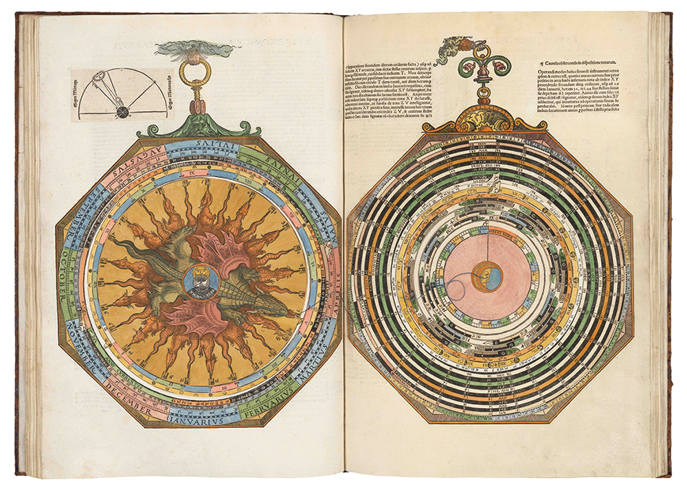
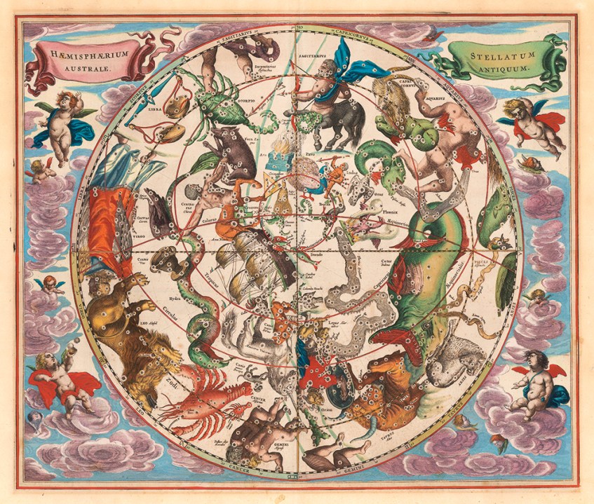
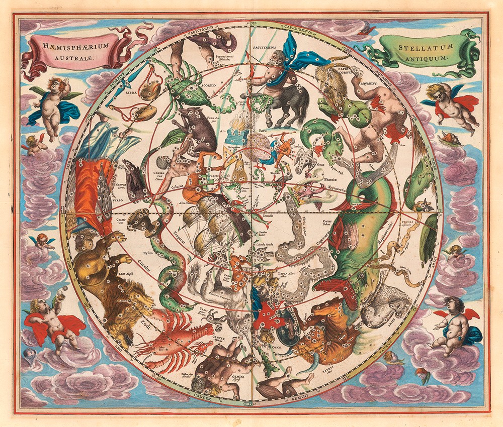
The collection includes Sebastian Münster’s Geographia of 1540, the first printed atlas to name the Pacific Ocean, and Andreas Cellarius’s Harmonia Macrocosmica, the only celestial atlas produced during the golden age of Dutch cartography. Some are exquisitely colored by hand; the most important are worth hundreds of thousands, occasionally millions, of dollars.
Yet Sunderland-Cohen is determined that the collection should not disappear into a private museum. Its digital home, Oculi Mundi, allows anyone to examine high-resolution images of the maps and explore the research behind them. Digitization has revealed as much to the collection’s custodians as to its visitors. “I now know much more about the maps,” she says. “We did a lot more in-depth research into each of them: who paid for them, who printed them, how they were printed.”
The project has expanded to include exhibitions, educational projects, and academic partnerships. Its award-winning podcast, What’s Your Map?, hosted by historian Jerry Brotton, has now reached five series, while its contemporary art program invites artists to respond to cartography’s entanglement with migration, identity, and colonialism.
For collectors, a map’s particular mixture of beauty and historical consequence is precisely the attraction
A rather different collection lies in 440 wooden drawers beneath University College London’s Institute of Education in Bloomsbury. Professor James Cheshire, a specialist in geographic information and cartography, initially regarded its paper maps as antiquated. Until he began opening the drawers.
Inside were tens of thousands of objects recording two centuries of war, science, empire, and social change. A dirt-covered sheet proved to be a vast illustrated map of China from 1931. Elsewhere he found an atlas produced by the Society for the Diffusion of Useful Knowledge, which sold over three million affordable maps between 1826 and 1848 (Theodore Roosevelt had a SDUK globe), and one of only about 30 surviving copies of George Bellas Greenough’s geological map of India. Cheshire’s discoveries form the basis of The Library of Lost Maps, an account of his delves into those archives that illustrates the way maps represent and shape power, from the partition of India to the DMZ.
For collectors, a map’s particular mixture of beauty and historical consequence is precisely the attraction. And entry doesn’t necessarily require a Sunderland-sized fortune. Decorative 18th- and 19th-century maps can still be bought for hundreds rather than thousands of dollars, though age, subject, rarity, and condition can escalate values quickly. The story beneath is often what matters most.
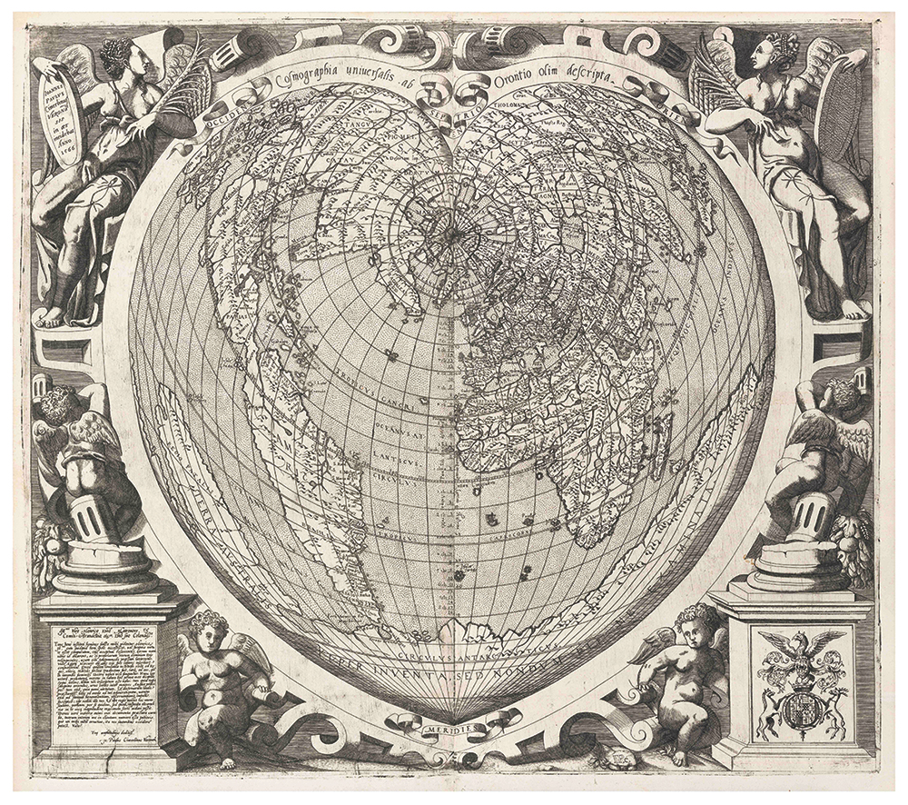
London remains a center of the trade. Daniel Crouch Rare Books in St. James’s handles major atlases, wall maps, charts, and globes at the top of the market, while Mayfair’s Altea Gallery offers a broad international stock. The Map House, established in 1907, holds more than 10,000 maps alongside globes and exploration material, while Tooley Adams is another long-established specialist. In America, the leading names include Barry Lawrence Ruderman Antique Maps in La Jolla, whose enormous online archive is itself an invaluable research tool, and New York’s Geographicus, particularly strong in rare and historically significant cartography. Neatline, based in San Francisco, is another useful source for American, Asian, and 19th- and 20th-century material.
Auction buyers should watch the specialist houses as well as Sotheby’s, Christie’s, and Bonhams, while Virginia-based specialists Old World Auctions has regular online sales. In Britain, Dominic Winters has a sale focused on Irish history and topography on October 1. Swann Galleries in New York holds dedicated maps and atlases sales twice yearly, with its next winter catalog still to be announced.
Ultimately, the pleasure of collecting maps lies in their imperfection. Each is an attempt to impose order upon a world changing faster than it can be surveyed. Digital maps tell us where we are. Old maps tell us where we thought we were – and who had the authority to decide.



Comments